Take 2
After leaving the rain behind us at Naseby the day before we drove directly to Wanaka to resume our holiday that was interrupted in August by my wife taking an unexpected trip to hospital in a rescue helicopter. We had two days still available to us that had already been paid for, which was the whole reason for this trip.
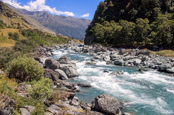
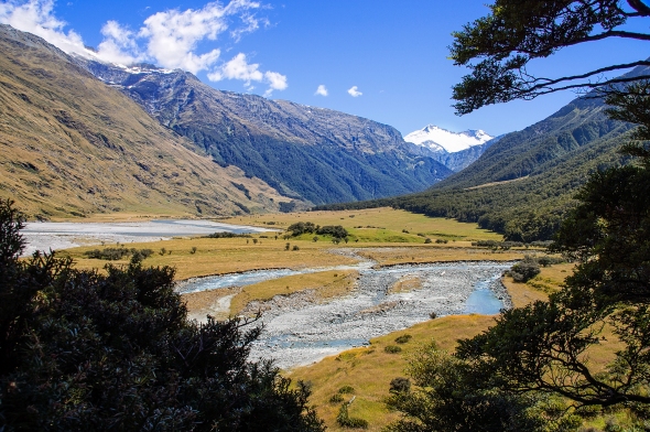
The next day dawned beautifully fine so we decided to take another drive up the western side of Lake Wanaka and then follow the west branch of the Matukituki River to the end of the road at Raspberry Flat, some 50 km from Wanaka. We visited Raspberry Flat last year while taking a day off from skiing but didn’t do any walking then as we had arrived late in the afternoon and did not have enough daylight available. The last 30 km of the road is unsealed, and the last 10 km section to the car park is a fine weather road only and subject to washouts. Sometimes flooded creeks can make it impassable.
The aim this day was to do the Rob Roy Valley Walk. Having proven herself at Mount Cook four days earlier, Valerie was determined to attempt this 3-4 hour return, 10 km walk.
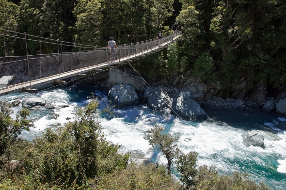
From the Raspberry Creek car park it is about a 15 minute easy walk to a swing bridge across the West Matukituki River, downstream from the junction with Rob Roy Stream. These cable and plank swing bridges are common in New Zealand National Parks and provide safe crossing points on popular walking tracks over swift flowing mountain rivers. They can be a bit un-nerving for people who are afraid of heights and walking surfaces that move up and down, as well as sideways. Lateral cables tied to the river banks attempt to minimise the latter.
After the river crossing the track climbs steadily upstream to a lookout where the Rob Roy Stream can be seen flowing into the Matukituki River.
Shortly after the lookout there is an unstable slip on the track which has a steep drop-off that requires care when crossing. The track then follows the course of the Rob Roy Stream and climbs through a small gorge into beech forest, then into alpine vegetation at the head of the valley.
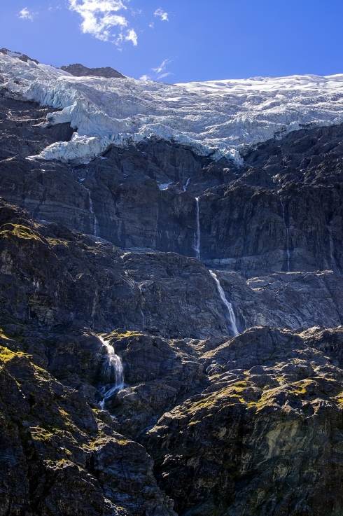
After emerging above the treeline you get the first uninterrupted views of the glacier and waterfalls for which it is famous.

Finally the track ends in an alpine meadow revealing the full glory of the Rob Roy Glacier and its seven waterfalls. Vast granite cliffs rise above the opposite side of the valley to the glacier which hangs above, seemingly ready to tumble over the edge at any minute. From high in the cliffs a succession of waterfalls cascade down the rock face to end in the Rob Roy Stream in the valley below. This walk is a favorite with several of our friends. It has now become a favorite for us as well.
After nearly an hour taking in the scale and beauty of our surroundings it was time to leave and return to the valley below. By this time the effort of the climb was beginning to catch up with Val and the descent was slow as she negotiated her way over the uneven track and across the muddy slip. Finally, almost seven hours after leaving the car park I towed a very weary walker back to the car. It had been a very memorable day which marked a second major milestone on the road to recovery.


